 By Victor Duda
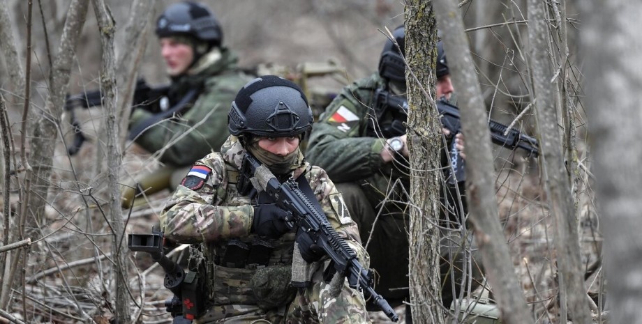
About the actions of Russians about nine settlements in Donetsk region and about the situation of 7 square meters. km of Kursk region is reported in the post of analysts of the Deepstate project in the Telegram channel. Toretsky direction. In the Toretsk Armed Forces of the Russian Federation continue to penetrate into all new residential quarters. According to analysts, the enemy advanced on two quarters (200 m) towards the western suburbs and in the same way - towards the northern ones.
Approximately, the Armed Forces control half of the settlement: preferably the northern part, shows the map. Pokrovsky direction. In this direction, the Armed Forces of the Russian Federation are successful at two points - near Novovasilovka (move towards the road E50 to Pavlograd and Dnipro), near Slavyanka (closer to Kurakhovoy, located south). Kurakhiv direction. Meanwhile, the enemy managed to occupy Kurakhiv TPP, showed analysts on the map of fighting.
Red is marked by a plot that was controlled by the Armed Forces a day. Probably, the Armed Forces of the Russian Federation passed another 2 km along the reservoir. At the same time, the territory, which is covered from the north and south by Russian troops, but there are still Ukrainian units, DEEPSTATE data. In addition, there are some changes south of Kurakhov near the village of Yantarne.
On the map there is a small movement of the front next to this village - another 400 m along the local ponds. Kupyan direction. There is a slight promotion of the Armed Forces of the Russian Federation near the village of two -year -old in the Kharkiv region. The distance that the enemy was able to go - up to 1 km. The Vremiv direction. Analysts showed on the map that the Armed Forces of the Russian Federation expanded the bridgehead near Neskachny.
Deepstate did not show other changes in this direction. Kursk direction. The DeepState project showed the front line movement next to a judge in Kursk region. Some changes occurred northwest of the city - near the villages of Nova Sorochyna and Loknya. Approximately, we see the advance of the Russians by 2 km and the capture of 5 square meters. m territory.
Analysts also wrote that they specify the situation east of Sudzhi near the village of Makhnivka: at this point, changes by 2 square meters are visible. km. The report of the Armed Forces General Staff, which appeared at 22:00 on January 7, did not report the loss of Kurakhiv TPP. The report also did not refer to changes in the Kursk region. The command reported that the largest attack of the Armed Forces of the Russian Federation took place near Pokrovsk (38 pcs. ), Vremivka (20 pcs. ), Kurakhov (17).


 USA
USA Українська
 English
 Français
 Deutsch
 Italiano
 Polski
 Čeština
 Español
 Slovensku