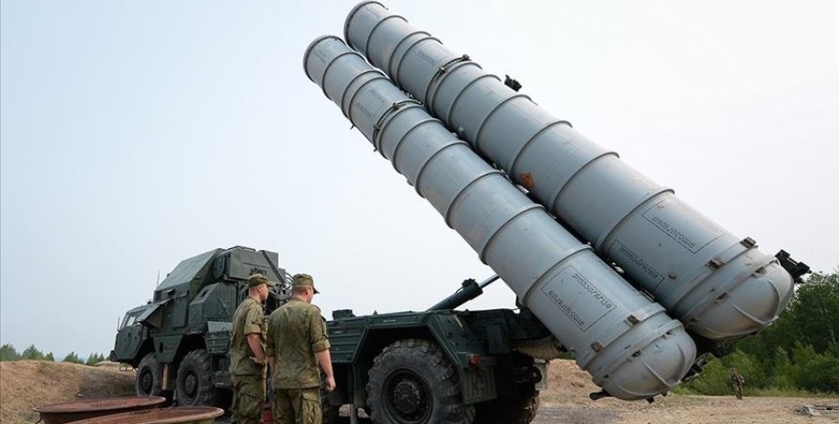
The defense forces were able to destroy the command item 5H63C with the radar illumination of the targets and the rockets of 30H6. "You can also see the tractor 5P85Te without trailers and traces of the launched/destroyed equipment (the same were the same after the destroyed 92H6e radar in the Belbek area)," the analysts said. To the south, the experts were noticed by tractors who take away the generators from the place of attack.
The OSINT community explained that this type of radar station should stand next to the starting installations, so the occupiers were probably removed promptly. Location coordinates were also published - 45. 304750,33. 324420. We will remind, on the night of June 10 in the captured Crimea a series of explosions. Russian sources were stated about the operation of air defense and ATACMS missiles.


 USA
USA Українська
 English
 Français
 Deutsch
 Italiano
 Polski
 Čeština
 Español
 Slovensku