 By Eliza Popova
The corresponding post has made the Monitorwar Telegram channel. At the same time, as analysts note, the map does not show the routes of shock drones Shahd. All data is taken from official Air Force messages. "Routes can be specifically with an error/not fully brought. All information on the map is public, no value of the enemy is carried. The information is collected from the official telegrams of the Air Force of Ukraine," the analysts said.
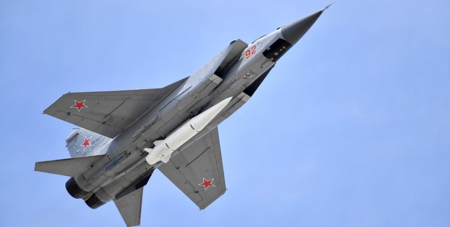
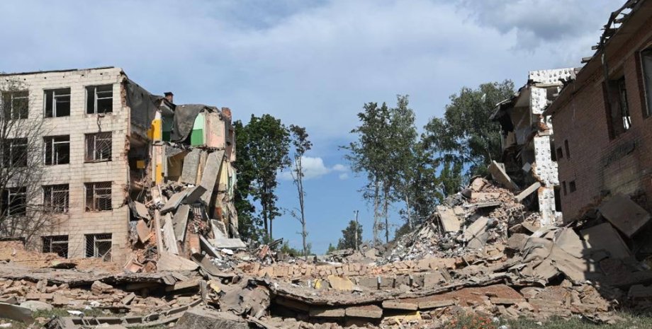
Judging by the map, the missiles flew from the Crimea, as well as other occupied territories of Ukraine, some of the missiles were released from the territory of Russia. Analysts also presented a map of explosions and air defense activity in Ukraine on March 29. On the morning of March 29, the Armed Forces of the Russian Federation carried out a massive rocket firing of the territory of Ukraine. Russian invaders attacked the territory of Ukraine with "daggers" and winged missiles.


 USA
USA Українська
 English
 Français
 Deutsch
 Italiano
 Polski
 Čeština
 Español
 Slovensku