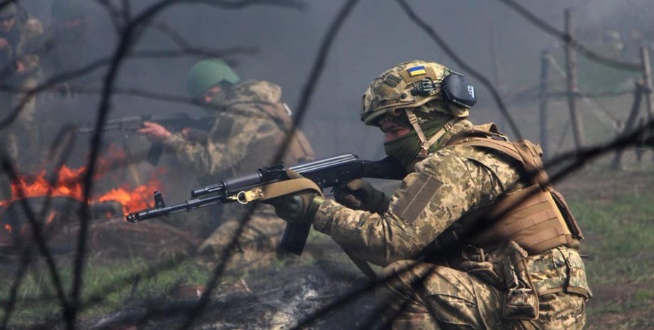
km In the Pokrovsky direction, Ukrainian fighters managed to regain control of two areas, but the Russians occupied one village and advanced near four more, according to a report by DeepState analysts. In the update of the battle map, which appeared on the morning of October 22, the "blue" zones controlled by the Armed Forces have increased, but there is also an expansion of the "red" Russian positions. Advancement of the Armed Forces. Pokrovsky direction.
Analysts reported that the soldiers of the Armed Forces of Ukraine are making progress at two points near Dobropilly. The situation has improved near Novy Shahovoy and Kucherovoy Yar, the map shows. In addition, the area occupied by Russian troops has decreased, and the territory captured by the Ukrainians has increased. In particular, next to Novy Shakhov, the "blue" zone (just liberated from the Russians) had dimensions of 6. 01 square meters as recently as yesterday. km, and today - 7.
82 square meters. km: there is an increase of 1. 81 square meters. km Near Kucherov Yar — it was 2. 56, it became 5. 67, the increase — 3. 11 square meters. km Advancement of the Armed Forces of the Russian Federation. Zaporizhzhia region. According to analysts, the Russians completely occupied the village of Poltavka, which previously had a narrow strip in the southwest under the control of the Defense Forces.
As of October 22, the settlement is under full control of the Russian Armed Forces, the DeepState map shows. The area of the village in the Pologiv district is 0. 059 square meters. km Other sections in which there is an advance of the Russian Armed Forces — Novomykolaivka-Okhotnyche (1. 54 km, the Russians reached the banks of the Yanchul River), Novovasylivske (advance 1. 29 km), Pokrovsky direction.
Analysts reported that the Russian Armed Forces advanced near the villages of Novotoretske and Shakhove. Both settlements are in the zone of Russian breakthrough near Dobropilly, eastern flank. Dnipropetrovsk-Donetsk region. Novopavlovsk direction. The Russians slightly expanded the red zone on the borders of the regions, the DeepState map showed. The Russian Armed Forces did not occupy Ivanivka, but approached the village from the south at a distance of 1. 68 km.
It is about 9 km from Ivanivka to Novopavlivka. In an updated report as of the morning of October 22, the General Staff of the Armed Forces of the Russian Federation spoke about the offensive attempts of the Russian Armed Forces in the east. According to the data of the command, the most Russian attacks were near Pokrovsk and 17 other settlements (64 times). In addition, 11 attacks were reported in the Oleksandrivskyi direction, which includes the village of Ivanivka.
There were two assaults near Poltavka on Gulyaipilsky, and all were repulsed by the Defense Forces, according to the report. Other hot areas in which there are attacks by the Russian Armed Forces, but no advance, are Lymanskyi (17) and Kostiantynivskyi (25). Note that Focus wrote about the offensive of the Russian Federation and the events in Pokrovsk.


 USA
USA Українська
 English
 Français
 Deutsch
 Italiano
 Polski
 Čeština
 Español
 Slovensku