 By Natali Moss
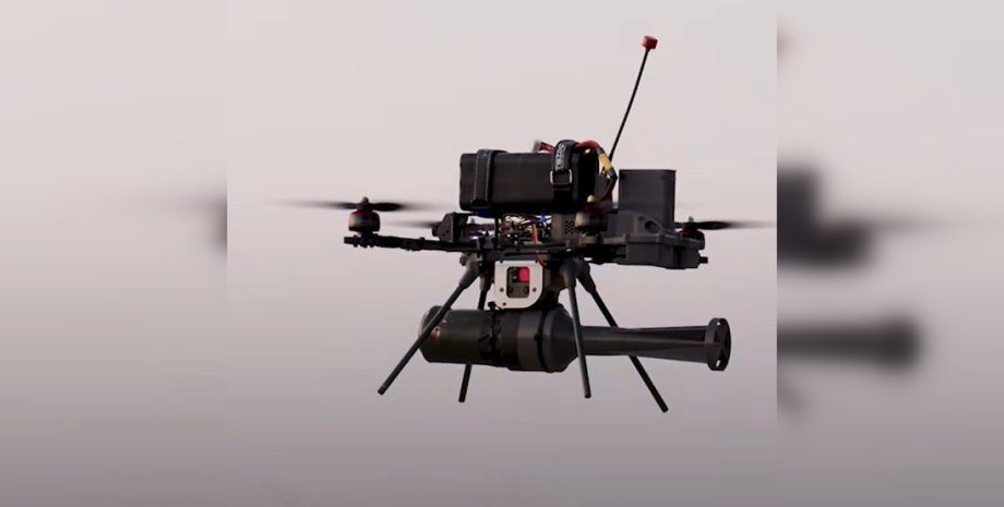
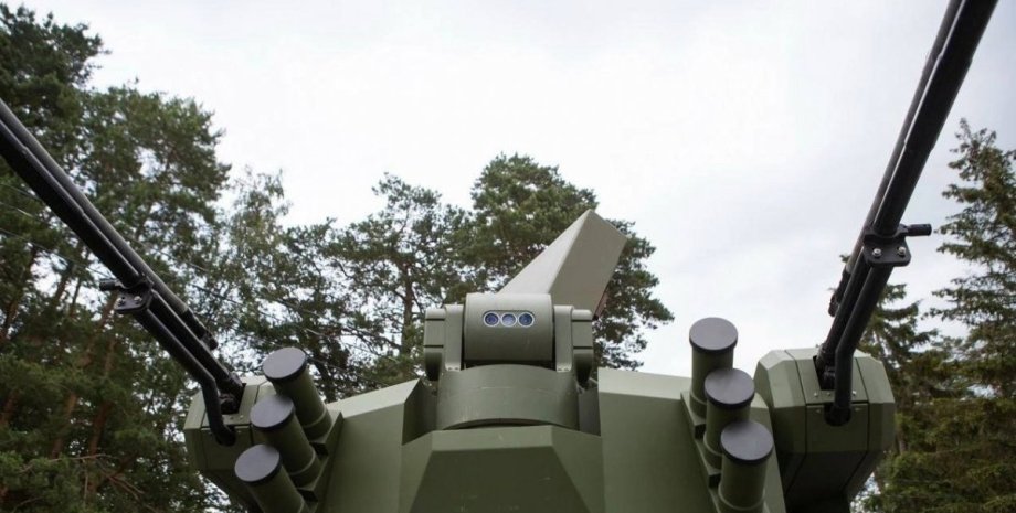
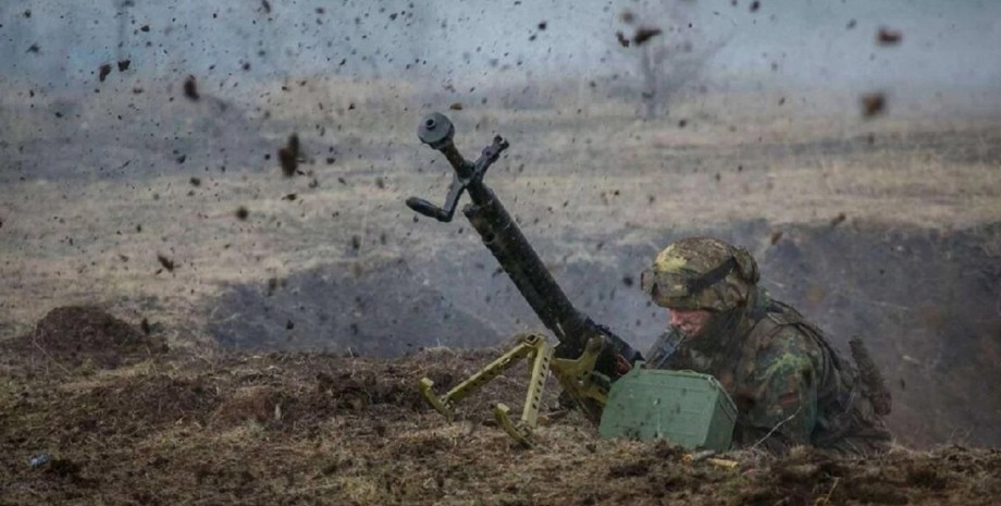
The system calculates the speed and direction of the drone from the start point, azimuth and compares the obtained images with the pre -loaded map of the terrain. It is resistant to muffling and purulent, so it is impossible to "plant" such a UAV. This method of navigation allows the drone to fly to its destination without human intervention. The pilot only has to adjust the target and lesion. In the queue - completely autonomous attacks.
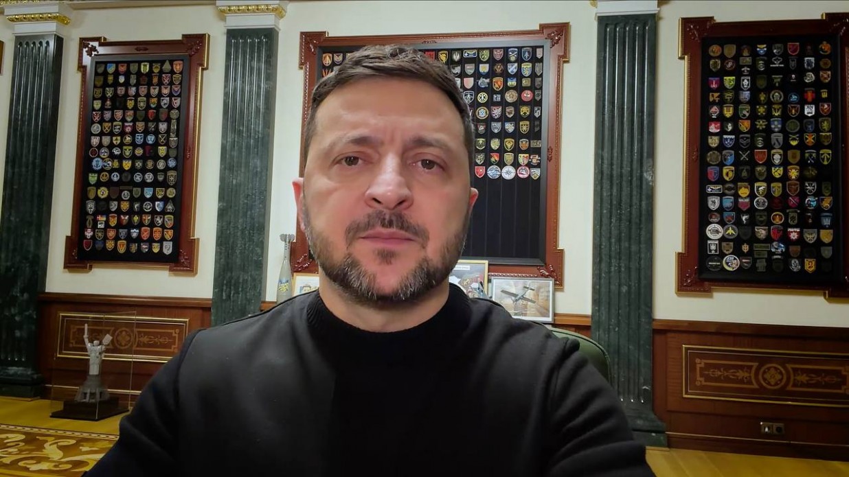
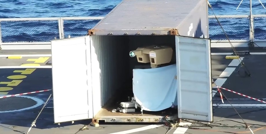
The head of the Ministry of Defense also stressed that the new generation of Blue Arrow, a new generation of Blue Arrow, is a participant in the Brave1 State Defense Cluster. Earlier, Maxar introduced the Raptor software package, which enables unmanned aircraft to navigate and receive accurate land coordinates without using GPS.


 USA
USA Українська
 English
 Français
 Deutsch
 Italiano
 Polski
 Čeština
 Español
 Slovensku