 By Victor Duda
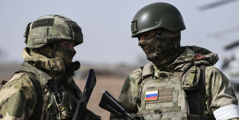
The analysts of the project have found that the Russians have success in the Novopavlovskaya direction and indeed entered the Dnipropetrovsk region. Deepstate reported that the Armed Forces of the Russian Federation occupied the villages of Zaporizhzhya and Novogeorgivka of Dnipropetrovsk region. On the eve of August 25, the map showed that the settlements are in the gray zone, and now they were under the control of the Russians.
The estimated successes of the enemy - 2 km deep into the region and occupation of about 12 square meters. km, show analysts. The report also refers to the promotion of the Armed Forces of the Russian Federation at three points of the front line in the east.
It is about shifting the positions of the Armed Forces near Shevchenko (still "plus" 1 km near the administrative administration of Dnipropetrovsk region), as well as the White Mountain and Alexander-Shultin ("plus" 3 km towards Konstantinovka of Donetsk region). The report and war maps of the General Staff of the Armed Forces, published on Facebook in the morning of August 26, does not indicate the emergence of troops of the Russian Federation in the territory of Dnipropetrovsk region.







All rights reserved IN-Ukraine.info - 2022